Video and Text

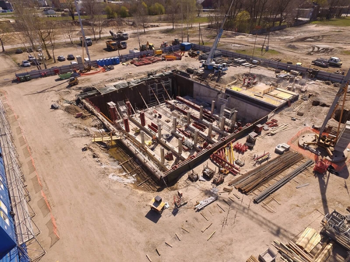
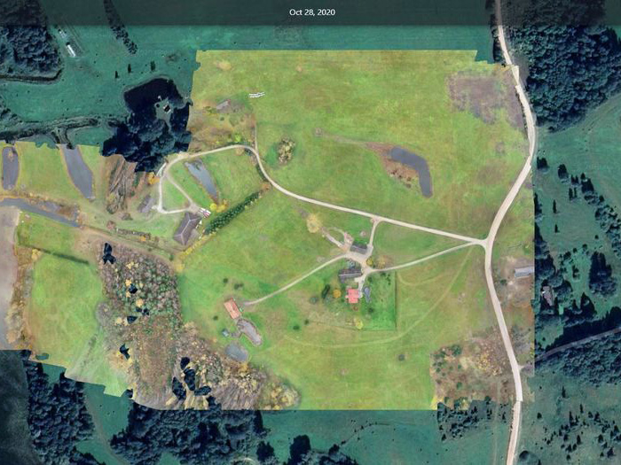
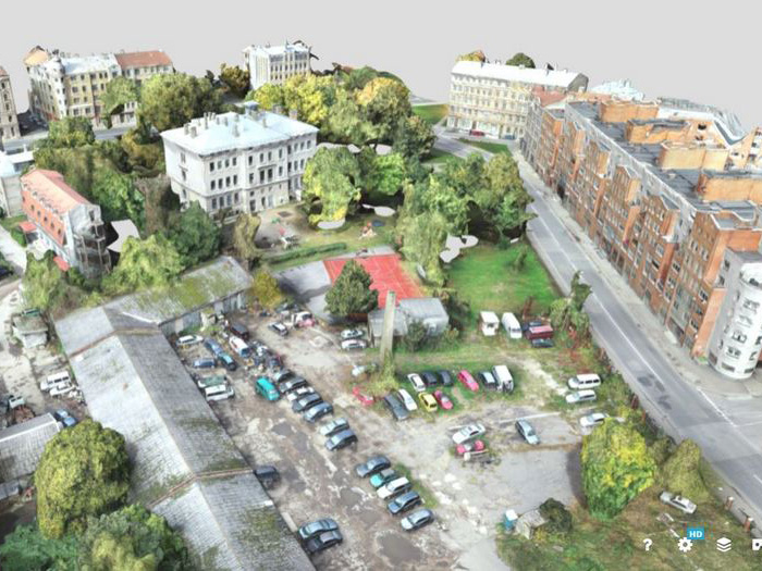
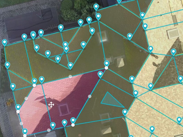
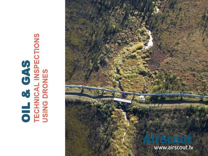
AirScout — drone-based inspection services
for construction and energy sector projects

Our certified pilots collect and process tailor-made
visual data using drones according to clients needs

Assistance at all stages of the project

1. Preparation

  • Photogrammetry of existing sites or territories, including hard-to-reach areas, for project implementation

2. Design

  • Integration of the existing infrastructure's design with the design of the planned one
  • Creation of electronic 2D and 3D terrain models, with the ability to export data to a compatible software for design works
  • Postprocessing of point cloud/3d model using Autodesk Revit, Civil 3d, Blender, Maya etc.

3. Construction

  • Regular monitoring of the progress of the project, creating a photo and video archive
  • Creation of 2D and 3D models of a site or property with the opportunity to read a multitude of geometric parameters
  • Topography of the area, calculation of the volume of bulk materials
  • Analysis of insured events

4. Property sale

  • Aerial photo and video materials for the sale of real estate property
  • Creation of videos for advertising purposes

5. Maintenance of the site or property

  • Inspection, and photo and video documentation of existing infrastructure sites
  • Data archiving
  • Inspection of buildings or terrain in areas that are difficult to reach
  • Thermography
  • Gas leak detection

Products

Engineering solutions

Marketing solutions

Our clients

a

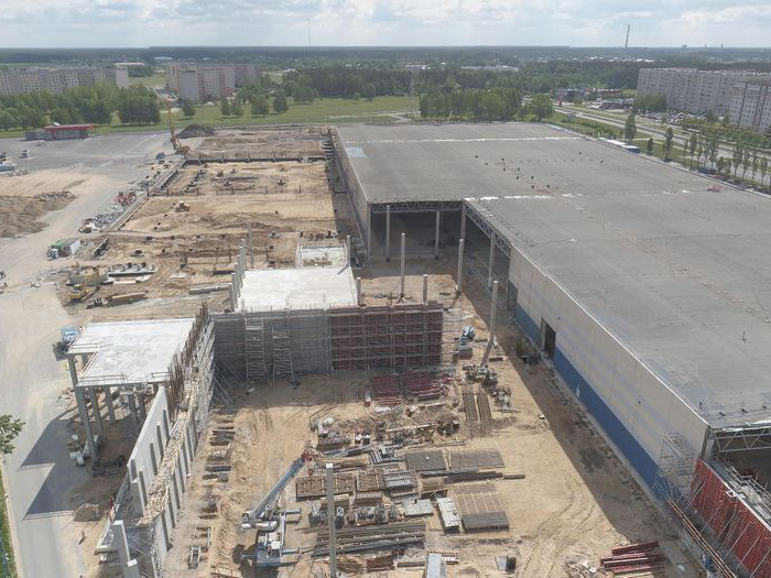
Construction companies
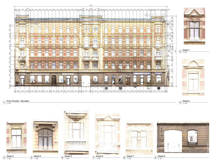
a

Designers

c

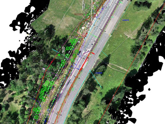
Companies servicing infrastructure sites
(houses, bridges, roads, electrical networks)

a

Companies engaged in the technical supervision
of construction sites

a

Companies engaged in the examination
of infrastructure sites

a

Quarry developers

a

Property developers

Contacts