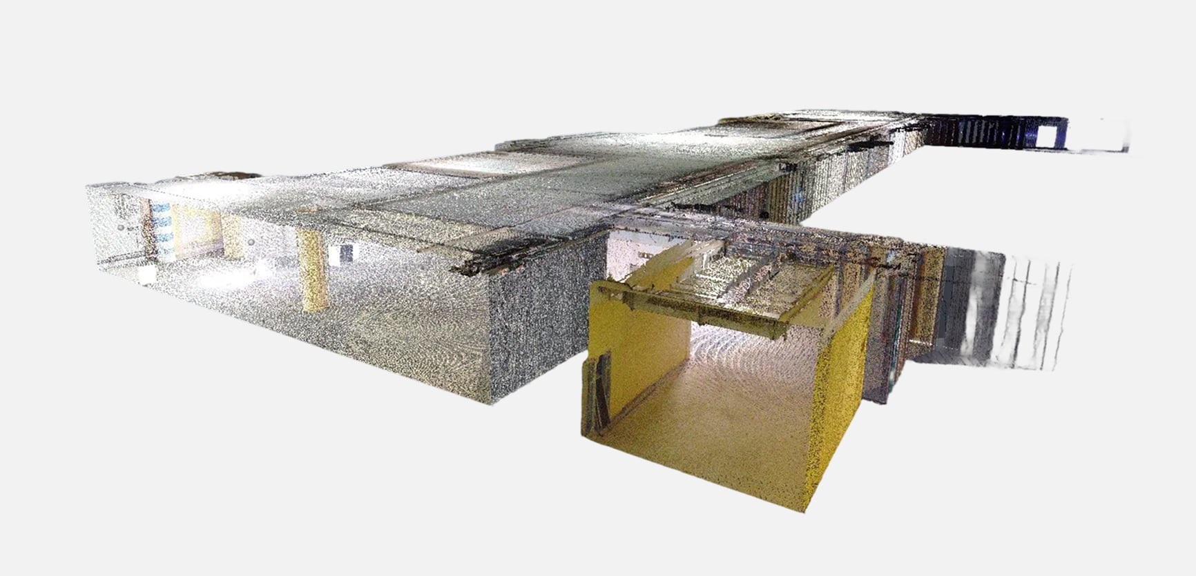
AirScout performs high-precision terrestrial laser scanning for detailed 3D documentation of buildings, industrial facilities, and infrastructure.
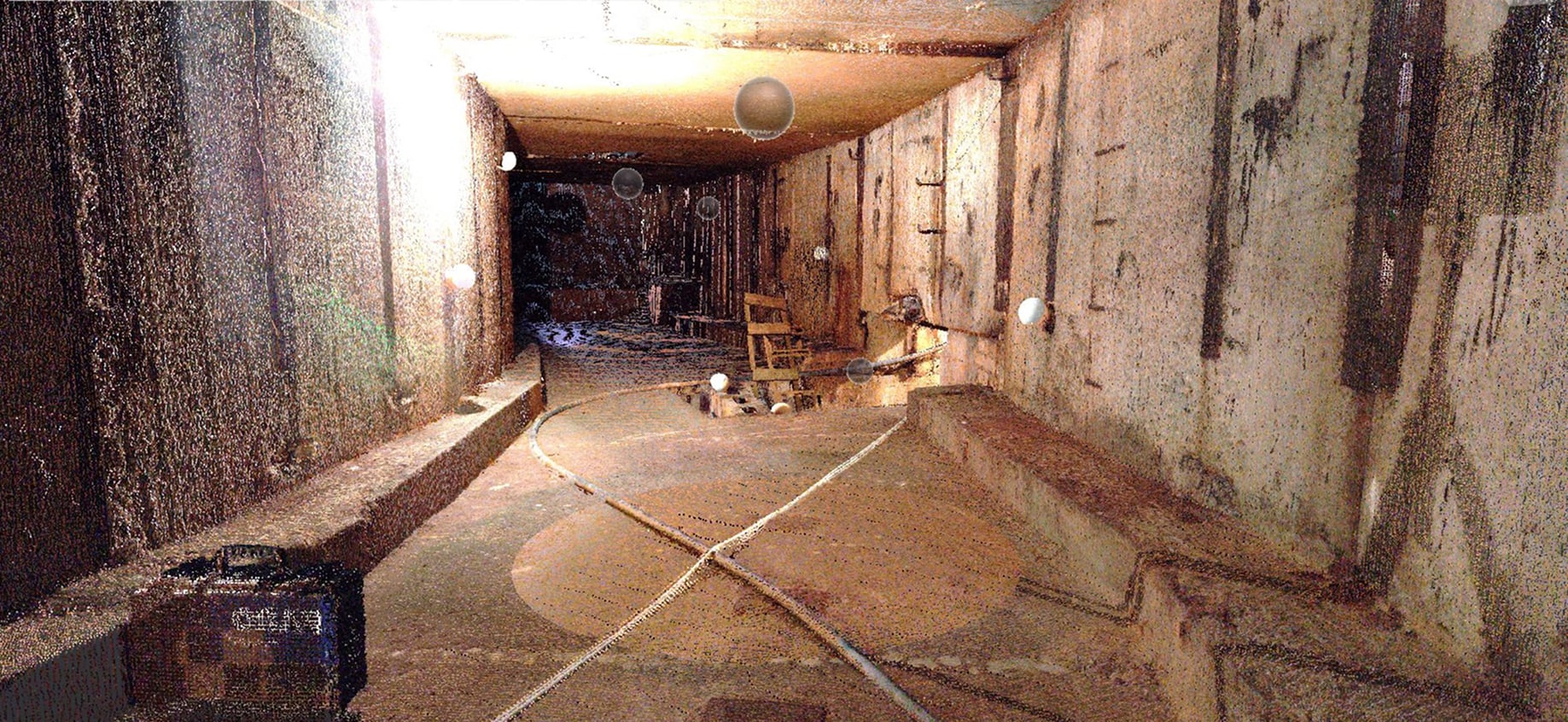
Using FARO and other high-accuracy scanners, we capture dense point clouds that represent true geometry and surface detail with millimeter precision.
Scans are registered and georeferenced in the local coordinate system using total station or GNSS control points.
The resulting datasets form a reliable basis for engineering design, BIM modeling, and deformation analysis.
Applications
Deliverables


